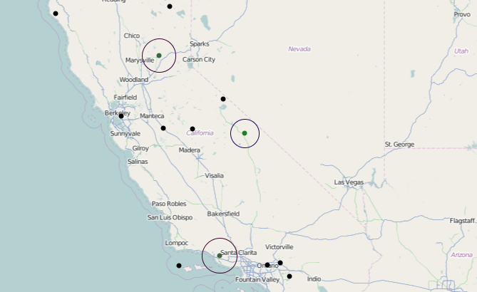
Preliminary test to push California weather station data onto a map using Processing. Taking sixteen Western Regional Climate Center (WRCC) stations from 1870-1900 and displaying their location and collected daily temperature information on the map as concentric circles (size and color). Thanks to WRCC for helping with collecting station information.
Reference: http://wrcc.dri.edu/csc/scenic/data/station_finder/